Preparation of detailed urban plans and signing of urban areas to prevent the emergence of new random areas and monitoring violations on agricultural land
Project Description
The project is divided into
The first project: Preparing detailed plans for villages and cities whose strategic plans have been completed with the aim of settling public services, providing adequate housing, improving living opportunities, encouraging real estate investment for the citizens of villages and cities in governorates, and reducing the migration of rural citizens to cities.
The second project: Determination of the external boundaries of the urban area of each city / village / Ezbet ground constants are monitored on the geodesic network of the Republic to facilitate the specialists in the provinces in identifying and monitoring infringements on agricultural lands
The feasibility of the project
To prevent the emergence of new random areas in villages and cities, to settle public services, to provide adequate housing, to improve living opportunities, to encourage real estate investment for the citizens of villages and cities in the governorates, and to reduce the migration of rural citizens to cities.
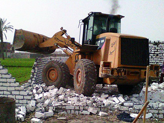
Facilitate the competent authorities in the governorates in identifying and monitoring infringements on agricultural land in each governorate
Summary of achievements
With regard to the draft detailed plans
The project began on 16 March 2014 through a contract between the Ministry of Local Development and the Armed Forces Engineering Authority. The detailed plans for 600 villages and 10 cities
Through the provinces, we numbered 1400 villages in addition to 16 cities
The total cost of the project is 150 million pounds over 6 financial years starting from fiscal year 2013/2014 and ending in 2018/2019
LE 40 million has been made available through the Ministry of Local Development to the Armed Forces Engineering Authority to begin implementation of the project and the remaining payments are being made available
The project continues until 30 June 2019
With regard to the second project: determining the external boundaries of the urban space
On 6 October 2013, a protocol was signed with the Egyptian General Authority for Surveying for the implementation of the required works for 223 cities, 25083 Ezbet and Naga. The work carried out by the relevant local units (cities / villages) will be delivered so that their work can be facilitated in identifying and monitoring infringements of agricultural land
The total cost of the project is 200 million pounds over 6 financial years starting from fiscal year 2013/2014 and ending in 2018/2019
A total of LE 90.4 million was made available through the Ministry of Local Development to the Egyptian General Survey Authority to start the implementation of the project and the remaining payments are being made available
The project continues until 30 June 2019
To learn more about the program or to request land registration please visit the land infringement site here.